
Birir Valley Map
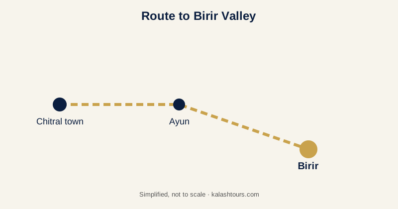
Birir is one of the three Kalash valleys in Lower Chitral, Pakistan. You reach it from Chitral town through Ayun, then a mountain road into the valley. Distance from Chitral and Ayun: [CONFIRM: km]. This page shows the route, main villages and sights, where to stay and a free map you can download.
Written by Saqib U Rehman, Founder, Kalash Tours (Chaqon Global Tours), DTS PR 6331
Last verified: October 2026
Where is it on the map?
What are the main sights in Birir?
- Guru village with multi-tiered homes
- Aspar and Biyal paths
- Oak-forest walks
- Phool autumn harvest festival setting
Where can I stay?
Birir has very limited guesthouse options; many travellers stay in Bumburet and visit Birir as a day trip. [CONFIRM: current guesthouses]
How do I get to Birir?
Reach Chitral by flight or by road via the Lowari Tunnel. From Chitral town drive south to Ayun, then take the valley road. The last section is narrow and can be slow after rain or snow.
Frequently asked questions
Distance from Chitral and Ayun: [CONFIRM: km].