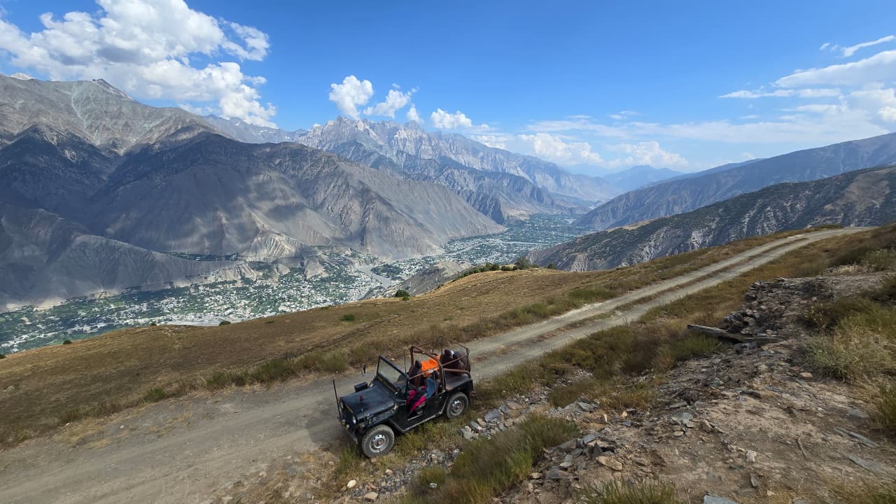
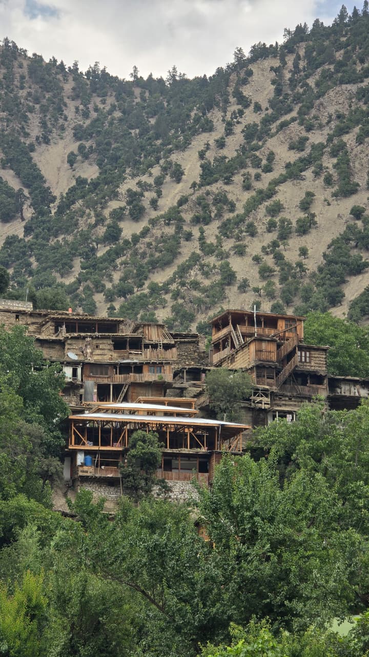
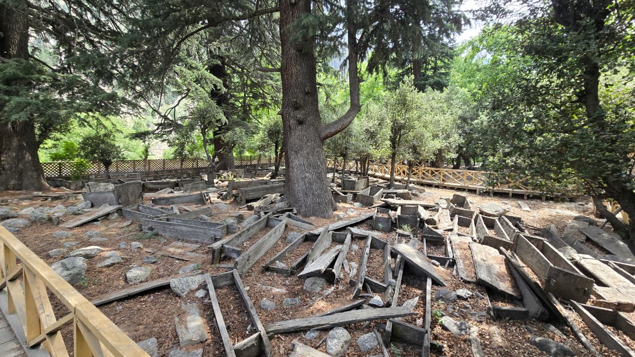
Chitral sits at the western edge of Pakistan's mountain north, hemmed in by Afghanistan on two sides and Gilgit-Baltistan on a third. Until 2018 it was a single enormous district — at nearly 14,850 square kilometres, the largest in Khyber Pakhtunkhwa — before being divided into Lower Chitral, centred on Chitral town, and Upper Chitral, centred on the village of Buni.
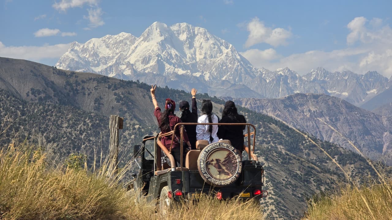
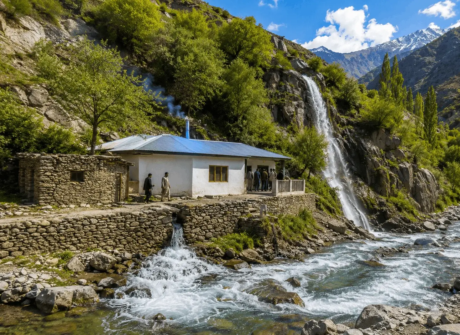
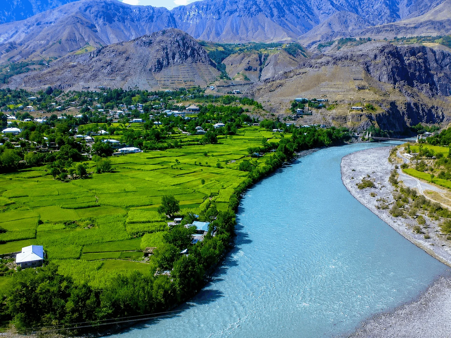
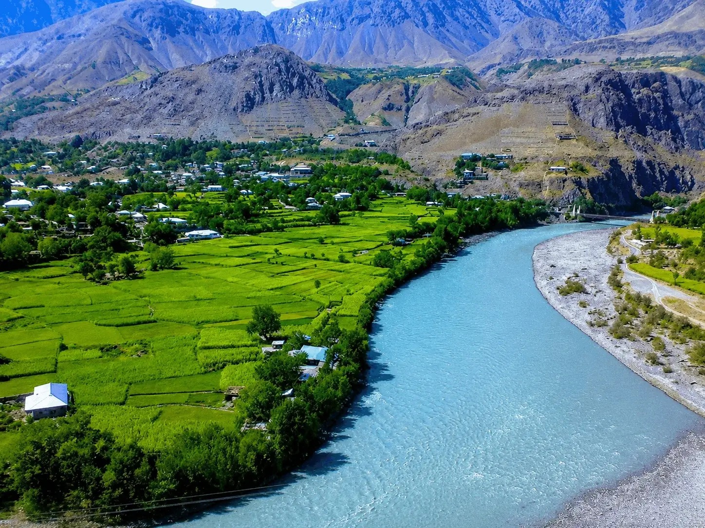
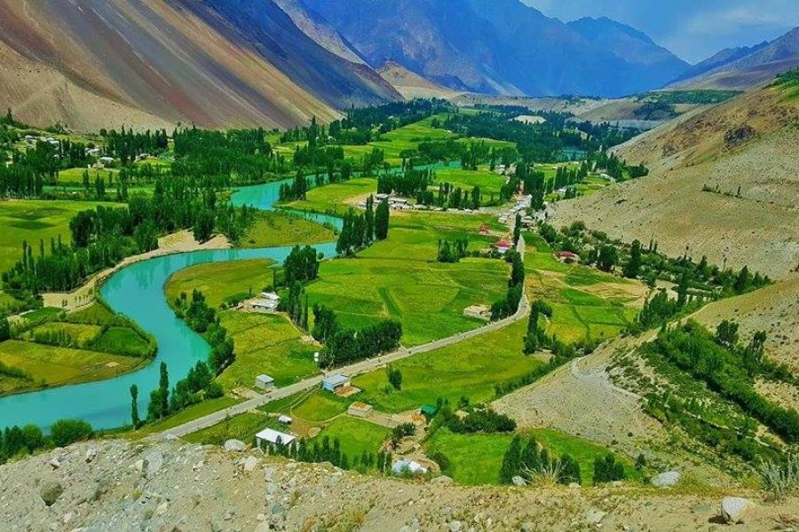
The Chitral River runs the length of the region, fed by glaciers off the Hindu Kush, and almost every orchard, village and polo ground sits along its banks. Once it crosses into Afghanistan, the same river becomes the Kunar. It's a landscape of extremes: walnut and apricot orchards at 1,500 metres give way, within a few hours' drive, to glaciers, 7,000-metre peaks and high, wind-scoured plateaus near the Afghan border.